Research Site
Site : Indonesia
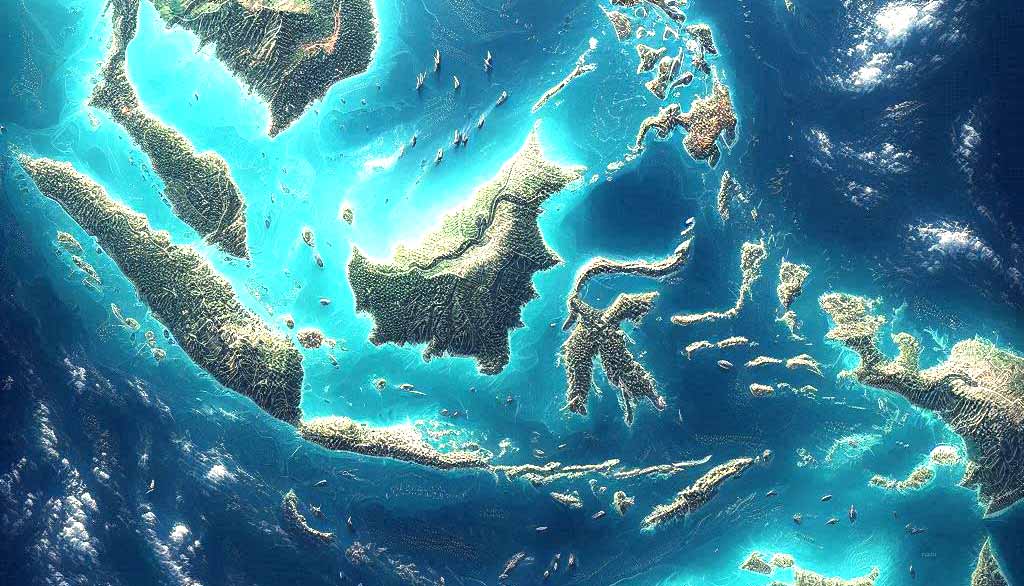
The country is home to one of the most diverse indigenous peoples and the most biodiverse and resource-rich countries globally. With its extensive coastline and millions of indigenous peoples on low-lying land just above sea level, Indonesia is most vulnerable to rising sea levels and other weather-related disasters like forest and land fires, landslides, storms, and drought. One of the major concerns for Indonesia is that CC has already affected evaporation, precipitation, and run-off soil moisture and water, affecting agriculture and food security. The impact of CC is particularly significant to the country’s indigenous peoples as they live mainly in the rich but fragile ecosystem and have historically experienced marginalisation, criminalisation and violence associated with resource extraction. The national report on food security status (DKP 2015) firmly states that indigenous peoples comprise 70% of the population experiencing food insecurity.
Mentawai Islands
The Mentawai Islands is an isolated but resource-rice archipelago historically coveted for timber operations, forest state, biodiversity protection, illegal fishing, and, recently, industrial surfing tourism. Mentawai Islands is being observed to see the severe effects of global warming on the island. The sea level on the west coast of Sumatra increases at 3-5mm per year, resulting in the Indigenous Mentawai experiencing flooding, seawater intrusion and sinking islands. The archipelago’s abundant biodiversity and food resources are threatened as 85 per cent of its coral reefs are in severe condition due to warming sea surface temperatures, sea level rise and other added stresses. CC has threatened the unique indigenous Mentawai foodways that do not rely on wet rice cultivation but on native tubers and sago as staples. These environmental changes also transform Mentawai’s livelihoods, which depend on hunting practices, pig domestication, fishing, and gathering. The islands will be the benchmark of qualitative and quantitative methodology, which I have employed for my previous research, and will also be the basis of my methods in Halmahera Island and North Sumatra Uplands.
Halmahera Islands
Halmahera island has been a place where conservation, industrial and smallholder nickel mining, and timber extraction all encroach upon the ancestral homes of various indigenous people, transforming the landscape and identity. Historically, people on the island have engaged with the global trade of spices, slave capture, regional ethnic relations, and sectarian conflicts, adapted to that external encounter and developed genuine strategies to combine subsistence activities, fishing, and spice cultivation for the global market. Halmahera is the location of a large-scale mining project and experiences frequent El Niño/La Niña events like flooding, storms and droughts. The combination of mining activities and climate change-induced disaster is not only depleting food resources but also creating health issues like infectious diseases (malaria, dengue, diarrhoea) and severe respiratory. Halmahera provides a background for the indigenous struggle to navigate their livelihoods, swaying between mining production, spice production and subsistence activities. Moreover, it will be a new site for understanding how an indigenous community copes with new and different forms of insecurity and their more-than-human environment in a radically transformed landscape.
North Sumatera Uplands
The upland area of North Sumatra is known as a region of origin for the greater Bataknese people. Historically, the Bataknese did not develop a kingdom and maintained a somewhat autonomous social unit (marga) based on kinship relations called dalian nan tolu. Their social organisation corresponds to their land tenure and small-scale cultivation system, which combines rice irrigation and a complex agroforestry system, combining staple food, old-century commodities such as benzoin and damar and new cash crops such as rubber, fruit trees, and gambir in the undergrowth of forests. State projects to intensify territorial control and resource extraction have been influential in transforming the North Sumatra uplands, including the establishment of forest estate, the development of land around Lake Toba as a Special Economic Zone for industrial tourism development and Angkola land as a National Strategic Zone for gold-mining and micro-hydro development projects. Most recently, the government of Indonesia targeted 60,000 hectares of land in the heart of Toba Land for food estate and brought contract farming for the Bataknese people. The Food Estate does not only impose state control over land but transforms the Bataknese foodways as the Project would reconfigure crop production and labour organisation. The research in North Sumatra uplands examines how various Bataknese people respond to these changes in their foodways.


© 2024 Beyond Insecurity